Kilimanjaro Success Rate by Route
Kilimanjaro Success Rate by Route: Which Route Gives You the Best Chance of Reaching Uhuru Peak?
Estimated reading time: 23 minutes
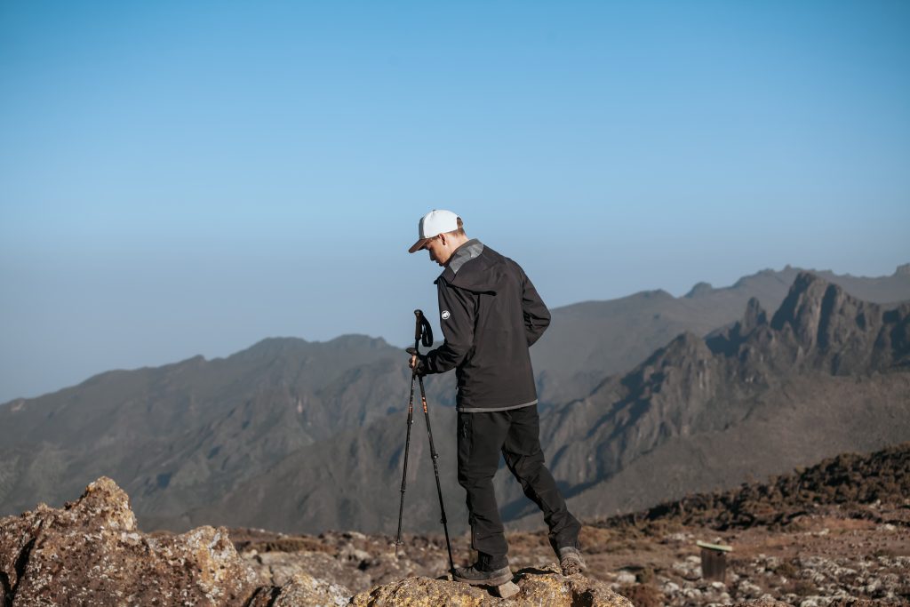
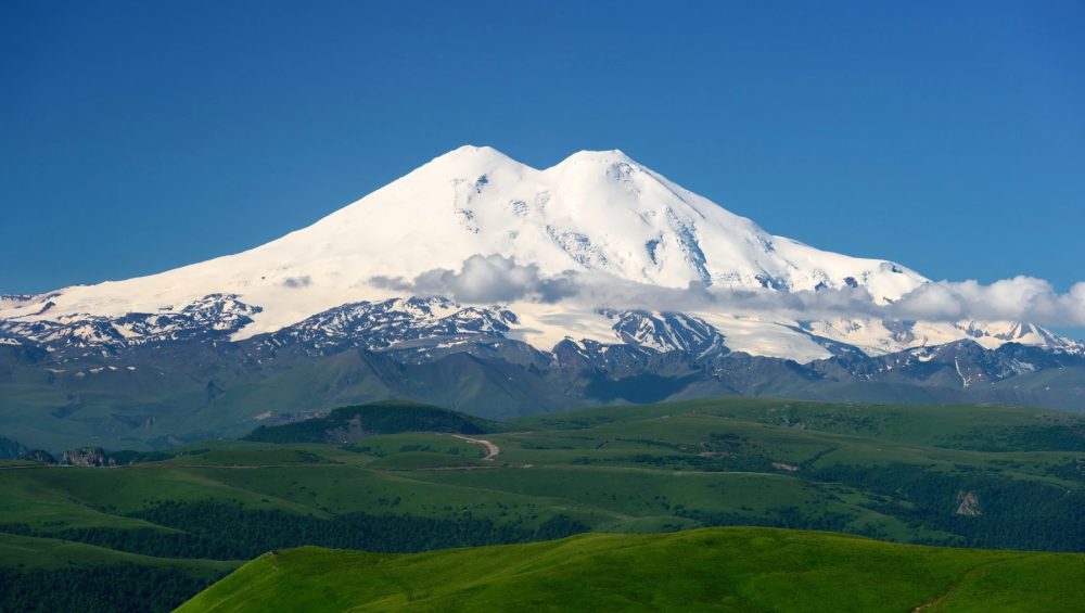
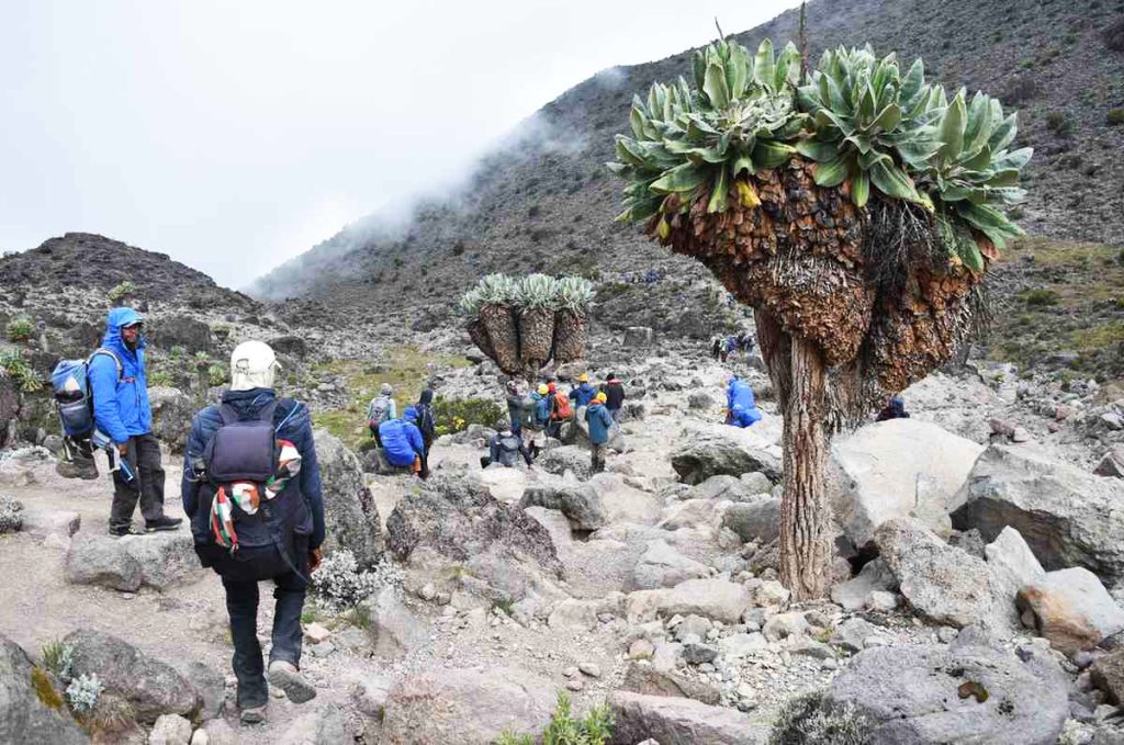
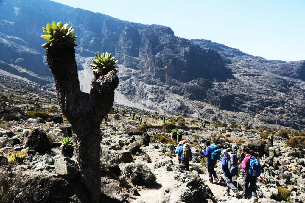
Mount Kilimanjaro does not have one fixed summit success rate because each route offers a different climbing experience. Some routes give climbers more time to acclimatize, while others ascend too quickly and increase the risk of altitude sickness. As a result, your choice of route can make a huge difference in whether you reach Uhuru Peak.
Among all Kilimanjaro routes, the 9-Day Northern Circuit has the highest summit success rate, with approximately 95 98% of climbers reaching the top. The 8-Day Lemosho Route also performs exceptionally well, followed by the 7-Day Machame Route. These routes allow climbers to spend more time on the mountain, follow the “climb high, sleep low” principle, and adjust gradually to higher elevations.
In contrast, shorter routes such as the 5-Day Marangu Route and the Umbwe Route generally record lower success rates because climbers gain altitude too quickly and have less time to acclimatize.
Overall, most climbers who choose longer itineraries, prepare properly, and climb with experienced guides significantly improve their chances of standing on Uhuru Peak, the highest point in Africa. Understanding Kilimanjaro success rates by route can help you choose the best itinerary and increase your chances of a successful summit.
Table of contents
- Kilimanjaro Success Rate by Route: Which Route Gives You the Best Chance of Reaching Uhuru Peak?
- Kilimanjaro Success Rate by Route
- Northern Circuit Success Rate
- Lemosho Route Success Rate
- Machame Route Success Rate
- Rongai Route Success Rate
- Marangu Route Success Rate
- Umbwe Route Success Rate
- Why Do Some Kilimanjaro Routes Have Higher Success Rates?
- Why Do Climbers Fail to Reach Uhuru Peak?
- Which Kilimanjaro Route Is Best for Beginners?
- How to Increase Your Kilimanjaro Summit Success Rate
- Kilimanjaro Route Comparison Table
- Which Kilimanjaro Route Does WeWild Travel Recommend?
- Frequently Asked Questions
- Final Thoughts
Kilimanjaro Success Rate by Route
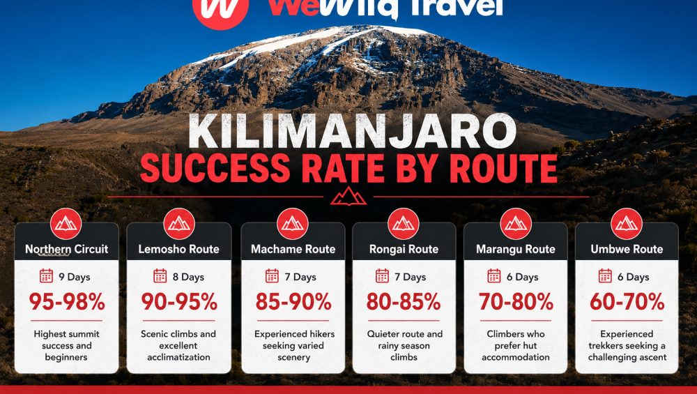
The Northern Circuit Route offers the highest chance of reaching Uhuru Peak, with summit success rates of approximately 95 to 98%. The 8-Day Lemosho Route and the 7-Day Machame Route also provide excellent success rates due to their gradual ascent profiles and better acclimatization opportunities.
| Kilimanjaro Route | Recommended Duration | Approximate Success Rate | Best For |
|---|---|---|---|
| Northern Circuit | 9 Days | 95-98% | Highest summit success and beginners |
| Lemosho Route | 8 Days | 90-95% | Scenic climbs and excellent acclimatization |
| Machame Route | 7 Days | 85-90% | Experienced hikers seeking varied scenery |
| Rongai Route | 7 Days | 80-85% | Quieter route and rainy season climbs |
| Marangu Route | 6 Days | 70-80% | Climbers who prefer hut accommodation |
| Umbwe Route | 6 Days | 60-70% | Experienced trekkers seeking a challenging ascent |
In general, longer routes deliver higher summit success rates because they give climbers more time to acclimatize to the altitude. Routes that follow the “climb high, sleep low” principle usually provide the best chance of successfully reaching Uhuru Peak.
What Is the Average Success Rate of Climbing Kilimanjaro?
The average success rate of climbing Mount Kilimanjaro ranges between 65% and 75%, although this figure varies significantly depending on the route, itinerary length, physical preparation, and the experience of the mountain operator. While thousands of climbers reach Uhuru Peak every year, many others turn back before the summit, mainly because of altitude-related challenges rather than physical fitness.
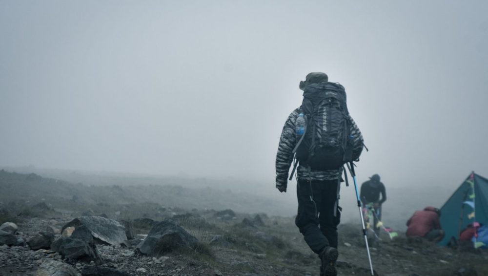
The biggest reason climbers fail to reach the summit is altitude sickness. As climbers gain elevation, the air becomes thinner and contains less oxygen. Common symptoms include headaches, nausea, dizziness, fatigue, and loss of appetite. In more severe cases, climbers may need to descend immediately for safety reasons. Most summit attempts fail because the body does not have enough time to adjust to the increasing altitude.
Route choice also plays a major role in determining summit success. Shorter itineraries, such as the 5-Day Marangu Route or the Umbwe Route, often have lower success rates because they allow less time for acclimatization. In contrast, longer routes such as the Northern Circuit, 8-Day Lemosho Route, and 7-Day Machame Route generally achieve much higher success rates because they provide a slower and more gradual ascent profile.
Choosing the right route can significantly increase your chances of standing on Uhuru Peak. Climbers who select longer itineraries, walk slowly, stay well hydrated, and climb with experienced guides usually enjoy a safer experience and a much greater chance of successfully reaching the roof of Africa.
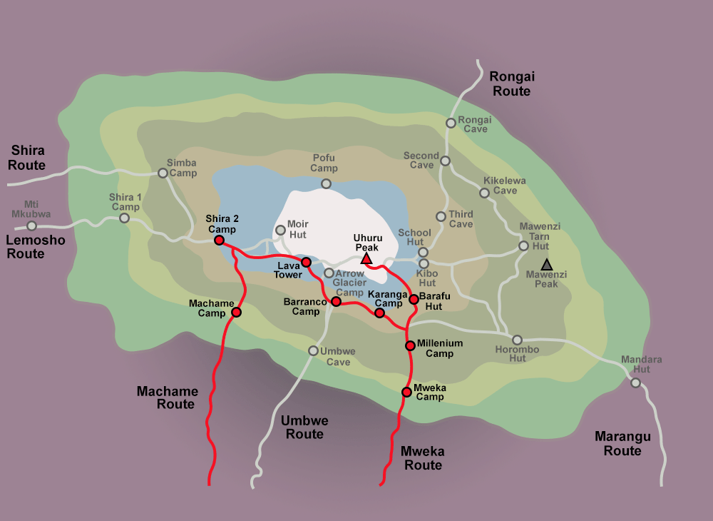
Kilimanjaro Success Rate by Route
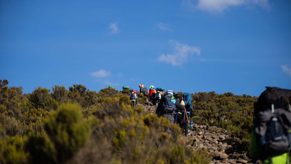
Choosing the right route is one of the most important decisions when planning a Mount Kilimanjaro climb. Each route offers different acclimatization opportunities, scenery, and difficulty levels, which directly influence summit success rates.
Northern Circuit Success Rate
The Northern Circuit Route has the highest summit success rate on Mount Kilimanjaro, with approximately 95-98% of climbers reaching Uhuru Peak on the 9-day itinerary.
Several factors contribute to its excellent performance. First, the route spends more time on the mountain than any other itinerary, giving climbers plenty of time to acclimatize. Second, the gradual ascent and “climb high, sleep low” profile significantly reduce the risk of altitude sickness.
The Northern Circuit also receives fewer climbers than Machame and Marangu, creating a quieter and less stressful experience. Because of its gentle pace and outstanding acclimatization profile, many operators consider it the best route for beginners and anyone whose main goal is reaching the summit successfully.
Recommended duration: 9 days
Approximate success rate: 95-98%
Lemosho Route Success Rate
The Lemosho Route consistently ranks among the best routes for summit success. The 8-day Lemosho Route records success rates of approximately 90-95%, while the 7-day itinerary generally achieves around 85-90%.
Lemosho begins on the remote western side of Kilimanjaro and offers one of the mountain’s most gradual ascents. The route follows an excellent acclimatization profile and allows climbers to spend additional time adjusting to the altitude before the summit attempt.
Besides its high success rate, Lemosho also offers some of Kilimanjaro’s most spectacular scenery, including rainforest, the Shira Plateau, lava formations, and panoramic mountain views.
Recommended duration: 8 days
Approximate success rate: 90-95%
Machame Route Success Rate
The Machame Route, often called the “Whiskey Route,” remains one of the most popular ways to climb Kilimanjaro. The 7-day Machame Route generally records summit success rates of approximately 85-90%, while the shorter 6-day itinerary usually achieves around 70-80%.
The route performs well because it follows the “climb high, sleep low” principle, helping climbers adapt to increasing altitude. However, removing one acclimatization day significantly lowers summit success.
Machame combines excellent scenery with good acclimatization, making it a popular choice for adventurous trekkers who want both beautiful landscapes and a strong chance of reaching Uhuru Peak.
Recommended duration: 7 days
Approximate success rate: 85-90%
Rongai Route Success Rate
The Rongai Route offers summit success rates of approximately 80-85% on the 7-day itinerary and around 70-75% on shorter versions.
This route approaches Kilimanjaro from the northern side near the Kenyan border and receives fewer climbers than the southern routes. The quieter trails appeal to trekkers looking for a more peaceful experience.
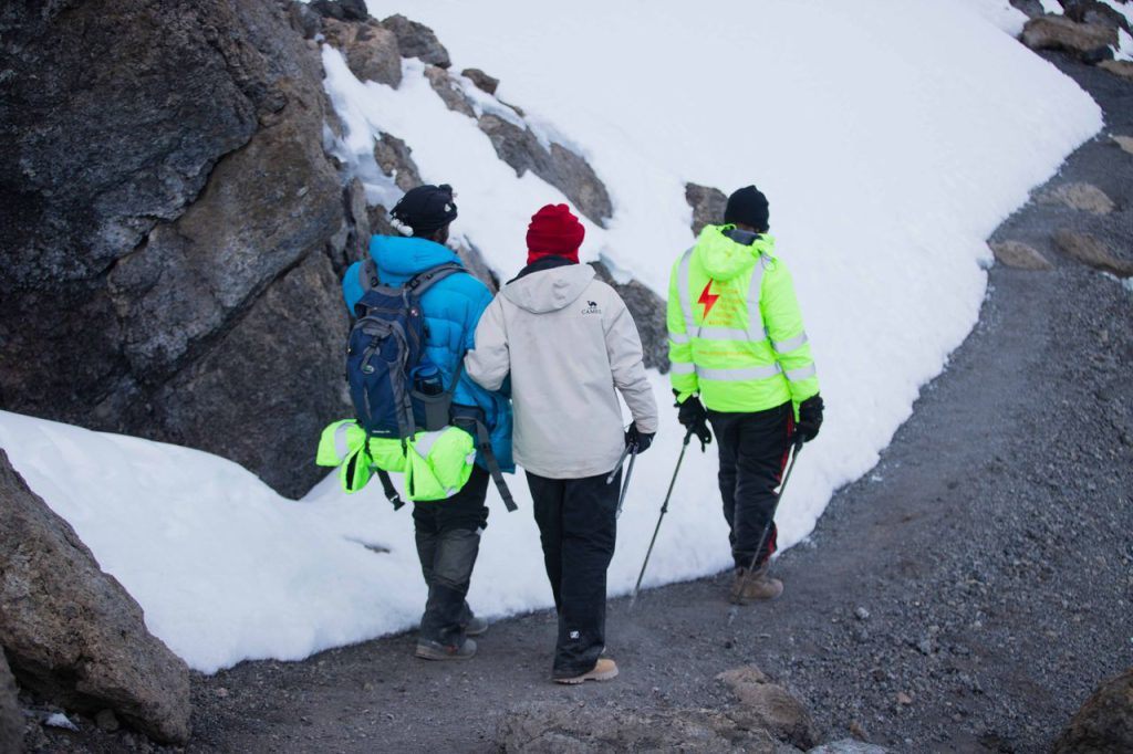
Rongai also performs well during the rainy seasons because the northern side of Kilimanjaro generally receives less rainfall. Although the route does not provide as many “climb high, sleep low” opportunities as Lemosho or Machame, adding an extra acclimatization day significantly improves success rates.
Recommended duration: 7 days
Approximate success rate: 80-85%
Marangu Route Success Rate
The Marangu Route, often called the “Coca-Cola Route,” records some of the lowest summit success rates on Kilimanjaro. The 6-day itinerary generally achieves around 70-80%, while the shorter 5-day route may have success rates below 50%.
Many climbers choose Marangu because it offers hut accommodation instead of camping and follows a relatively gentle trail. However, the route ascends quickly and provides fewer acclimatization opportunities compared with longer itineraries.
This shorter ascent profile increases the likelihood of altitude sickness and explains why many climbers fail to reach Uhuru Peak despite Marangu’s reputation as an easier route.
Recommended duration: 6 days
Approximate success rate: 70-80%
Umbwe Route Success Rate
The Umbwe Route has the lowest summit success rate on Mount Kilimanjaro, with approximately 60-70% of climbers reaching the summit.
This route gains altitude rapidly and follows a steep and demanding ascent profile. Because climbers spend less time acclimatizing, the risk of altitude-related problems increases significantly.
Umbwe offers dramatic scenery and a more remote wilderness experience, but its challenging nature makes it unsuitable for most first-time climbers. Most operators recommend this route only for experienced trekkers with previous high-altitude hiking experience.
Recommended duration: 6 days
Approximate success rate: 60-70%
Overall, longer routes with gradual ascents generally deliver the highest summit success rates on Kilimanjaro. If reaching Uhuru Peak is your main goal, the Northern Circuit, 8-Day Lemosho Route, and 7-Day Machame Route provide the best balance between acclimatization, scenery, and summit success.
Why Do Some Kilimanjaro Routes Have Higher Success Rates?
Not all Kilimanjaro routes offer the same chance of reaching Uhuru Peak. While fitness and preparation play an important role, the route itself often determines whether climbers successfully summit or turn back because of altitude-related issues. Routes with gradual ascents and longer itineraries generally achieve much higher success rates than shorter and steeper routes.
Better Acclimatization Profiles
The main reason some routes perform better than others is acclimatization. As climbers ascend higher, the amount of oxygen in the air decreases significantly. The body needs time to adapt to these changes.
Routes such as the Northern Circuit and the 8-Day Lemosho Route provide excellent acclimatization profiles because they increase altitude gradually and include additional days on the mountain. This extra time allows the body to produce more red blood cells and adjust to lower oxygen levels, greatly improving summit success rates.
In contrast, routes that gain altitude too quickly often lead to headaches, nausea, fatigue, and other symptoms of altitude sickness.
Longer Duration on the Mountain
In general, the longer you spend on Mount Kilimanjaro, the higher your chances of reaching the summit.
A 5-day itinerary may seem attractive because it costs less and requires fewer vacation days, but shorter routes usually have significantly lower success rates. Climbers simply do not have enough time to adapt to the altitude.
Longer itineraries, such as the 8-Day Lemosho Route and the 9-Day Northern Circuit, provide additional acclimatization days and allow climbers to ascend at a safer pace. This is why these routes consistently achieve some of the highest summit success rates on Kilimanjaro.
Climb High, Sleep Low Principle
One of the most effective acclimatization strategies on Mount Kilimanjaro is the “climb high, sleep low” principle.
This method involves hiking to a higher elevation during the day and then descending to a lower altitude to sleep. By exposing the body to higher elevations while allowing recovery at lower camps, climbers adapt more effectively to reduced oxygen levels.
Routes such as Machame and Lemosho follow this principle exceptionally well, which explains their strong summit success rates. The Barranco and Karanga sections, for example, help climbers acclimatize before the final ascent to Uhuru Peak.
Slower Ascent Reduces Altitude Sickness
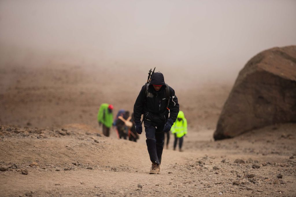
Altitude sickness remains the primary reason climbers fail to reach the summit of Mount Kilimanjaro. Even physically fit climbers can struggle if they ascend too quickly.
A slower pace gives the body more time to adjust and significantly reduces the risk of Acute Mountain Sickness (AMS). This is why experienced mountain guides always encourage climbers to walk slowly using the famous Kilimanjaro phrase, “Pole Pole,” which means “slowly, slowly.”
Routes with gradual ascents and longer itineraries naturally encourage a slower pace and provide more opportunities for acclimatization. As a result, they consistently achieve higher summit success rates than shorter and more aggressive routes.
Ultimately, climbers who choose longer routes, ascend slowly, and allow sufficient time for acclimatization enjoy the best chance of successfully standing on Uhuru Peak, the highest point in Africa.
Why Do Climbers Fail to Reach Uhuru Peak?
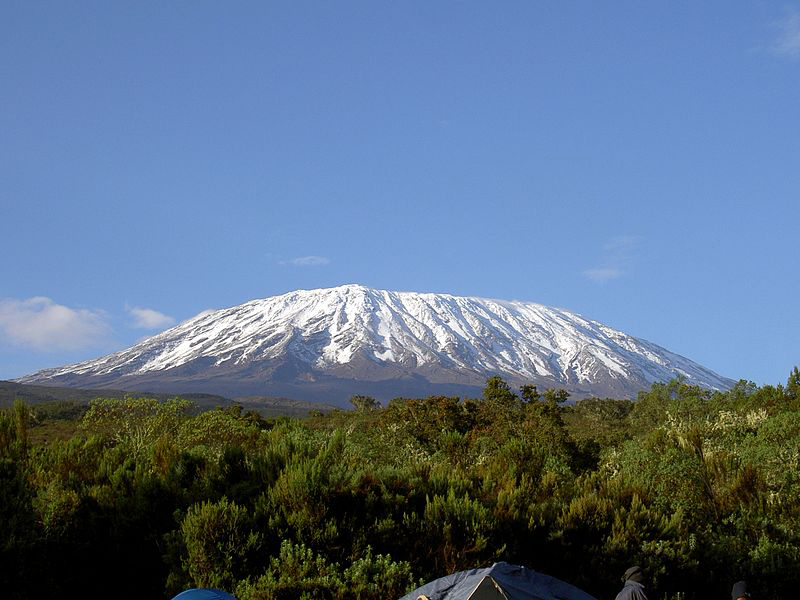
Reaching Uhuru Peak, the highest point in Africa at 5,895 meters (19,341 feet), is a remarkable achievement, but not every climber reaches the summit. While many people assume that lack of fitness is the main reason for failure, altitude-related challenges play a much bigger role. Understanding the common reasons why climbers turn back can help you prepare better and significantly improve your chances of success.
Acute Mountain Sickness (AMS)
Acute Mountain Sickness (AMS) is the leading reason why climbers fail to reach Uhuru Peak. As climbers gain altitude, oxygen levels decrease, making it harder for the body to function normally.
Common symptoms of AMS include:
- Headaches
- Nausea and vomiting
- Dizziness
- Fatigue
- Loss of appetite
- Difficulty sleeping
In severe cases, guides may decide to stop the ascent and descend immediately to protect the climber’s health and safety. Even physically fit individuals can experience altitude sickness because the condition affects everyone differently.
Poor Preparation
Many climbers underestimate the challenge of Mount Kilimanjaro. Although the mountain does not require technical climbing skills, reaching nearly 6,000 meters demands good physical and mental preparation.
Insufficient training can make long hiking days more difficult and reduce overall enjoyment of the trek. Preparing several months in advance with regular hiking, cardiovascular exercise, strength training, and endurance activities can greatly improve your experience on the mountain.
Mental preparation is equally important, especially during the demanding summit night.
Dehydration
Dehydration is another common factor that reduces summit success rates. High altitude, cold temperatures, dry air, and long hiking days increase water loss.
Many climbers do not drink enough water, which can worsen symptoms of altitude sickness and lead to fatigue and headaches.
Most mountain guides recommend drinking approximately three to four liters of water each day while climbing Kilimanjaro. Staying well hydrated helps the body acclimatize more effectively and improves overall performance.
Choosing Short Itineraries
Many climbers choose shorter routes because they cost less or fit better into their travel schedules. However, shorter itineraries often have significantly lower summit success rates.
Routes such as the 5-Day Marangu Route and shorter Machame itineraries provide limited time for acclimatization, increasing the risk of altitude sickness.
Longer routes, including the 8-Day Lemosho Route and the 9-Day Northern Circuit, allow climbers to ascend gradually and consistently achieve much higher summit success rates.
Fast Ascent Rates
One of the biggest mistakes climbers make is hiking too quickly. Many people feel strong during the first few days and attempt to move faster than recommended.
However, a rapid ascent prevents the body from adapting properly to lower oxygen levels and greatly increases the risk of AMS.
Experienced guides on Kilimanjaro often repeat the phrase “Pole Pole,” meaning “slowly, slowly.” Walking at a slow and steady pace helps conserve energy, improves acclimatization, and significantly increases the chances of successfully reaching Uhuru Peak.
Can You Improve Your Chances of Success?
Yes. Most climbers can improve their summit success by:
- Choosing a longer route.
- Training before the climb.
- Drinking plenty of water.
- Following a slow pace.
- Listening to guides and health checks.
- Selecting an experienced Kilimanjaro operator.
Ultimately, reaching Uhuru Peak depends less on strength and more on proper acclimatization, preparation, and smart route selection. Climbers who allow their bodies enough time to adapt to the altitude enjoy the highest chances of standing on the roof of Africa.
Which Kilimanjaro Route Is Best for Beginners?
Choosing the right route is one of the most important decisions for first-time climbers. While Mount Kilimanjaro does not require technical climbing skills, beginners should prioritize routes that offer better acclimatization, gradual ascents, and higher summit success rates.
Based on acclimatization profiles, difficulty, and overall summit success, the following routes are generally the best options for beginners.
1. Northern Circuit Route – Best Overall for Beginners
The Northern Circuit Route is widely considered the best route for beginners who want the highest chance of reaching Uhuru Peak. This route typically takes nine days and provides the longest acclimatization period of any Kilimanjaro route.
The gradual ascent allows climbers to adjust slowly to the altitude, significantly reducing the risk of Acute Mountain Sickness (AMS). In addition, the route receives fewer climbers than Machame and Marangu, creating a quieter and less crowded experience.
Why beginners choose the Northern Circuit:
- Highest summit success rate on Kilimanjaro (95-98%)
- Excellent acclimatization profile
- Less crowded trails
- Spectacular and diverse scenery
- More time to enjoy the experience
Best for: First-time climbers whose main goal is successfully reaching Uhuru Peak.
2. 8-Day Lemosho Route – Best Combination of Scenery and Success Rate
The 8-Day Lemosho Route is another excellent choice for beginners. Many experienced operators consider it the perfect balance between beautiful scenery, gradual acclimatization, and high summit success.
Starting on Kilimanjaro’s remote western side, the route crosses several ecological zones, including rainforest, moorland, alpine desert, and glacier landscapes.
The additional acclimatization day greatly improves summit success compared with the shorter 7-day itinerary.
Why beginners choose the Lemosho Route:
- Excellent acclimatization opportunities
- High summit success rate (90-95%)
- Some of Kilimanjaro’s most scenic landscapes
- Less crowded during the early days of the trek
- Ideal pace for first-time high-altitude climbers
Best for: Beginners looking for both incredible scenery and a high chance of summit success.
3. 7-Day Machame Route – Best for Active and Fit Beginners
The Machame Route, often called the “Whiskey Route,” is one of the most popular routes on Mount Kilimanjaro. Although it involves steeper sections than the Northern Circuit and Lemosho, the 7-day itinerary still offers good acclimatization and strong summit success rates.
The route follows the “climb high, sleep low” principle, helping climbers adapt to increasing altitude.
Machame also offers dramatic scenery, including rainforest, the Shira Plateau, Barranco Wall, and panoramic summit views.
Why beginners choose the Machame Route:
- Good acclimatization profile
- Strong summit success rate (85-90%)
- Diverse and beautiful scenery
- Suitable for physically active first-time climbers
- More affordable than some longer routes
Best for: Beginners with good fitness levels who want an adventurous and scenic climb.
Which Route Should Beginners Avoid?
Many first-time climbers choose shorter routes because they appear easier or cheaper. However, routes such as the 5-Day Marangu Route and the Umbwe Route generally record lower summit success rates because they provide limited time for acclimatization.
Choosing a route based only on price or duration can significantly reduce your chances of reaching Uhuru Peak.
Final Recommendation for Beginners
If reaching the summit safely is your main priority, the following routes provide the best options:
- Northern Circuit Route – Highest success rate and best acclimatization.
- 8-Day Lemosho Route – Best balance of scenery and summit success.
- 7-Day Machame Route – Excellent option for fit beginners seeking adventure.
For most first-time climbers, longer itineraries provide the best chance of standing on the roof of Africa while enjoying a safer and more enjoyable Kilimanjaro experience.
How to Increase Your Kilimanjaro Summit Success Rate
Although no operator can guarantee that every climber will reach Uhuru Peak, several factors can significantly improve your chances of standing on the roof of Africa. Proper preparation, smart route selection, and good acclimatization habits often make the difference between reaching the summit and turning back early.
Choose a Longer Route
One of the best ways to improve your summit success is to choose a longer itinerary. Routes that spend more days on the mountain allow your body more time to adjust to the altitude.
For example, the 9-Day Northern Circuit and 8-Day Lemosho Route consistently record some of the highest summit success rates on Kilimanjaro because they provide excellent acclimatization opportunities.
Although shorter routes may cost less and require fewer vacation days, they often have significantly lower success rates.
Train Before Your Climb
Mount Kilimanjaro does not require technical climbing skills, but good physical fitness can make your trek much more enjoyable.
A training program should ideally begin at least two to three months before your climb and include:
- Hiking on hills or mountains
- Cardiovascular exercises such as running, cycling, or swimming
- Strength training for your legs and core
- Long walks carrying a small backpack
Physical preparation helps improve endurance and allows you to recover more quickly during consecutive trekking days.
Drink Plenty of Water
Hydration plays an important role in acclimatization. The dry mountain air, cold temperatures, and physical exertion can cause climbers to lose large amounts of water each day.
Dehydration may worsen symptoms of altitude sickness and reduce energy levels.
Most guides recommend drinking approximately three to four liters of water per day while climbing Kilimanjaro.
A simple way to monitor hydration is to check the color of your urine. Pale yellow usually indicates good hydration.
Walk Slowly – “Pole Pole”
One of the most famous phrases on Mount Kilimanjaro is “Pole Pole,” which means “slowly, slowly” in Swahili.
Many climbers make the mistake of hiking too fast during the first few days. However, ascending slowly allows your body to adapt more effectively to the decreasing oxygen levels.
A slow and steady pace conserves energy, reduces fatigue, and significantly lowers the risk of Acute Mountain Sickness (AMS).
Remember: reaching the summit is not a race.
Spend Extra Days Acclimatizing
If your schedule allows, consider adding extra acclimatization days before or during your climb.
Some climbers choose to climb Mount Meru before Kilimanjaro because it helps the body adapt to higher elevations. Others select itineraries with additional days on the mountain.
Even one extra day can greatly improve summit success rates.
Climb With an Experienced Operator
Choosing the right operator can have a major impact on your overall experience and summit success.
Experienced operators typically provide:
- Well-designed itineraries
- Professional and trained mountain guides
- Daily health monitoring
- Emergency oxygen and medical equipment
- Proper nutrition and hydration support
- Strong safety procedures
Guides play a critical role in identifying early signs of altitude sickness and helping climbers maintain a safe pace throughout the trek.
Kilimanjaro Route Comparison Table
Choosing the right route depends on your experience, fitness level, preferred scenery, and summit goals. The table below compares the main Kilimanjaro routes based on duration, difficulty, crowd levels, scenery, and approximate summit success rates.
| Route | Recommended Days | Difficulty | Crowds | Scenery | Approximate Success Rate | Best For |
|---|---|---|---|---|---|---|
| Northern Circuit | 9 Days | Moderate | Very Low | Excellent | 95-98% | Highest summit success and first-time climbers |
| Lemosho Route | 8 Days | Moderate | Low to Moderate | Excellent | 90-95% | Beginners seeking scenery and acclimatization |
| Machame Route | 7 Days | Moderate to Challenging | High | Excellent | 85-90% | Active trekkers wanting adventure and views |
| Rongai Route | 7 Days | Moderate | Low | Good | 80-85% | Climbers seeking quieter trails and dry conditions |
| Marangu Route | 6 Days | Moderate | High | Good | 70-80% | Climbers preferring hut accommodation |
| Umbwe Route | 6 Days | Challenging | Very Low | Very Good | 60-70% | Experienced trekkers seeking a demanding route |
Which Route Should You Choose?
If your main goal is maximizing your chances of reaching Uhuru Peak, the Northern Circuit Route offers the best success rate due to its gradual ascent and excellent acclimatization profile.
For climbers looking for a balance between spectacular scenery and a high summit success rate, the 8-Day Lemosho Route remains one of the best choices on Mount Kilimanjaro.
Meanwhile, the 7-Day Machame Route continues to attract adventurous trekkers because of its diverse landscapes and strong acclimatization profile, although it tends to be more crowded during peak seasons.
Ultimately, longer routes generally provide a higher chance of success because they allow more time for the body to adjust to high altitude and reduce the risk of Acute Mountain Sickness (AMS).
Which Kilimanjaro Route Does WeWild Travel Recommend?
At WeWild Travel, we believe that choosing the right route is one of the most important decisions you can make when planning your Kilimanjaro adventure. While every climber has different goals, experience levels, and travel schedules, we generally recommend routes that provide the best balance between acclimatization, scenery, and summit success.
1. Northern Circuit Route – Highest Chance of Success
If your primary goal is standing on Uhuru Peak, the 9-Day Northern Circuit Route is our top recommendation. This route offers the longest acclimatization period on Mount Kilimanjaro and consistently records the highest summit success rates.
The route also receives fewer climbers than other popular routes, allowing for a quieter and more immersive mountain experience.
Why we recommend it:
- Highest summit success rate (95-98%)
- Excellent acclimatization profile
- Less crowded trails
- Spectacular scenery around the entire mountain
2. 8-Day Lemosho Route – Best Overall Experience
The 8-Day Lemosho Route is one of our favorite routes because it combines excellent acclimatization with some of the most beautiful scenery on Kilimanjaro.
Beginning on the remote western side of the mountain, this route crosses several ecological zones and provides a gradual ascent that significantly improves summit success.
Why we recommend it:
- High summit success rate (90-95%)
- Outstanding scenery
- Excellent acclimatization opportunities
- Ideal for first-time climbers
3. 7-Day Machame Route – Best Value and Adventure
The 7-Day Machame Route remains one of the most popular choices among climbers seeking an adventurous and scenic experience.
Although it attracts more climbers than the Northern Circuit and Lemosho routes, it still offers a strong acclimatization profile and an excellent chance of reaching the summit.
Why we recommend it:
Strong summit success rate (85-90%)
Diverse landscapes and dramatic scenery
Good acclimatization profile
Great option for active trekkers
Our Recommendation
If summit success is your highest priority, we generally recommend choosing the Northern Circuit Route or the 8-Day Lemosho Route. The additional acclimatization days significantly increase your chances of safely reaching Uhuru Peak and enjoying the overall experience.
At WeWild Travel, our experienced mountain guides carefully monitor climbers throughout the trek, encourage a slow “Pole Pole” pace, and prioritize safety and acclimatization on every expedition.
Ready to Climb Kilimanjaro?
Explore our most recommended itineraries:
- Northern Circuit Route
- 8-Day Lemosho Route
- 7-Day Machame Route
Start planning your Kilimanjaro adventure with WeWild Travel and maximize your chances of standing on the Roof of Africa.
Frequently Asked Questions
The overall summit success rate on Mount Kilimanjaro ranges between 65% and 75%, although success rates vary depending on the route and itinerary length. Longer routes generally record much higher success rates because they provide better acclimatization opportunities and reduce the risk of altitude sickness.
The 9-Day Northern Circuit Route has the highest summit success rate on Mount Kilimanjaro, with approximately 95-98% of climbers reaching Uhuru Peak. The route’s gradual ascent and extended acclimatization period make it one of the best choices for first-time climbers and anyone whose main goal is reaching the summit.
The main reason climbers fail to reach Uhuru Peak is Acute Mountain Sickness (AMS). Other common reasons include poor preparation, dehydration, choosing shorter itineraries, and ascending too quickly. Physical fitness alone does not guarantee success because altitude affects every climber differently.
Yes. The 8-Day Lemosho Route is widely considered one of the best routes on Kilimanjaro because it combines spectacular scenery with excellent acclimatization and high summit success rates. It offers a quieter start than some other routes and provides climbers with a gradual ascent profile that significantly improves the chances of reaching Uhuru Peak.
Mount Kilimanjaro presents a significant physical challenge, but many beginners successfully reach the summit every year. The mountain does not require technical climbing skills or mountaineering experience. Choosing the right route, preparing properly, and climbing at a slow pace can make Kilimanjaro achievable for most healthy and determined trekkers.
Yes. You can significantly improve your summit success by choosing a longer route, training before your climb, drinking plenty of water, walking slowly, and allowing enough time for acclimatization. Climbing with an experienced operator and following your guides’ advice also greatly increases your chances of safely reaching the summit.
For beginners, the Northern Circuit Route, 8-Day Lemosho Route, and 7-Day Machame Route generally offer the best balance between acclimatization, scenery, and summit success. These routes provide more time on the mountain and consistently achieve higher success rates than shorter itineraries.
No. Many climbers experience mild symptoms such as headaches or fatigue, but not everyone develops serious altitude sickness. Proper acclimatization, hydration, and a slow ascent significantly reduce the risk of severe altitude-related problems.
Yes. Longer itineraries consistently achieve higher success rates because they give the body additional time to adapt to lower oxygen levels. For example, 8- and 9-day itineraries generally record much higher success rates than 5- or 6-day climbs.
Many people consider the Marangu Route the easiest because it offers hut accommodation and a relatively gentle trail. However, its shorter acclimatization profile often leads to lower summit success rates. In terms of balancing difficulty and summit success, many experts consider the Northern Circuit and 8-Day Lemosho Route to be the best options for most climbers.
Final Thoughts
Choosing the right Kilimanjaro route can significantly influence your chances of standing on Uhuru Peak. While physical fitness and mental determination play important roles, route selection and proper acclimatization often make the biggest difference between a successful summit and an early descent.
Overall, longer itineraries such as the 9-Day Northern Circuit Route, 8-Day Lemosho Route, and 7-Day Machame Route consistently achieve the highest summit success rates because they allow climbers more time to adjust to the altitude. In contrast, shorter routes may save time and money, but they generally provide lower chances of reaching the summit.
It is also important to remember that reaching Uhuru Peak is not simply about choosing the easiest route. Success depends on careful preparation, proper hydration, a slow and steady pace, and climbing with experienced guides who prioritize safety and acclimatization.
If your dream is to stand on the roof of Africa, take the time to select the route that best matches your experience, fitness level, and travel goals. With the right preparation and itinerary, Mount Kilimanjaro becomes an achievable challenge for many climbers.
At WeWild Travel, we carefully design our Kilimanjaro itineraries to maximize acclimatization and enhance summit success. Whether you choose the Northern Circuit, Lemosho, or Machame Route, our experienced mountain team will support you every step of the journey and help you enjoy a safe, memorable, and rewarding climb to Uhuru Peak.
Ready to start your Kilimanjaro adventure? Explore our recommended routes or contact our team to find the best itinerary for your successful summit attempt.